
Описание: A contour survey, also known as a topographic survey or contour mapping, is a method of surveying that determines and represents the three-dimensional shape of the Earth's surface. It involves identifying and mapping points of equal elevation, which are then connected to form contour lines on a map. These maps are crucial for understanding the topography of a land area and are used in various fields like engineering, construction, and land development.
Предоставлено: Gopinath Enterprise
Город : Surat
Контакты : 9428290779
Категории: Engineering Services, Civil Engineering Services
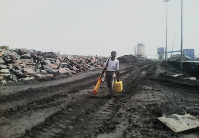
We Gopinath Surveyors situated at Surat, Gujarat. In 2013 Gopinath surveyors started its journey into all type of land surveying dealing with Government, Corporate & Private Discipline. We have impeccable track record of customer satisfaction with utmost care. Our motto is to deliver project cost effectively and in time bound manner. We Deal into following categories such as Land survey work.
We Gopinath Surveyors situated at Surat, Gujarat. In 2013 Gopinath surveyors started its journey into all type of land surveying dealing with Government, Corporate & Private Discipline. We have impeccable track record of customer satisfaction with utmost care. Our motto is to deliver project cost effectively and in time bound manner. We Deal into following categories such as Land survey work.